Some time ago I started to go out of London with friends during weekends to participate in long-distance & short-distance walks. At first we were using public transport to escape the city and get ourselves to London’s outskirts. Later, the car seemed to be a better prospect that gets us further and to different areas where public transport is usually scarce. However, a car has also few limitations and one of them is that now we have to scout the countryside mainly for circular walks.
There is plenty of routes available, described in detail on internet. Having a friend who is a member of Ramblers (British organization established in 1935 to promote walking in outdoors) also helps with specialized route finding.
Walking has a lot of benefits, be it boosting physical health, improving psychological well-being and also raising the potential in creative thinking (confirmed in study “Give your ideas some legs: The positive effect of walking on creative thinking, 2014 by Opezzo & Schwartz, published in Journal of Experimental Psychology: Learning, Memory and Cognition). The famous example is surely Darwin’s Thinking path in Downe House (Kent).
Walking for pleasure had developed in Britain’s countryside in 18th century, often promoted by poets such as William Wordsworth, Samuel Coleridge, John Keats and others. Since then hundreds of long-distance paths criss-crossing Britain have been established and walking has become one of the most popular outdoor activities in the UK.
However, not all is rosy. As I was recently reading a book by Norwegian explorer and author Erling Kagge, Walking – One Step at a time, I came across a disconcerting passage where Kagge writes: “It’s common to believe that people locked up in prisons are the ones who move the least. But it is not that simple. Three-quarters of all English children spend less time outdoors than prison inmates of the same country; every fifth child is largely indoors all day; and every ninth child has not set foot in a park, forest or on a beach in the course of the entire year. Their time is spent indoors in front of a screen”. With recent lockdown imposed by the UK’s governments due to Covid-19 outbreak this negative trend may unfortunately continue. But there are also good examples in children accessing the countryside namely with Scouts organization or other worthwhile causes.
The countryside had been a long term influence for British photographer Fay Godwin (1931-2005) who excelled in black and white landscape work. She was also president of Ramblers’ Association from 1987 to 1990 and campaigned for the right-to-roam not only as part of her presidency but by making photographs and exhibitions as well as publishing books with themes on access to land like for example Our Forbidden Land (Jonathan Cape Ltd. 1990). Her efforts and those of others culminated in Countryside and Rights of Way Act 2000 and the Land Reform (Scotland) Act 2003.
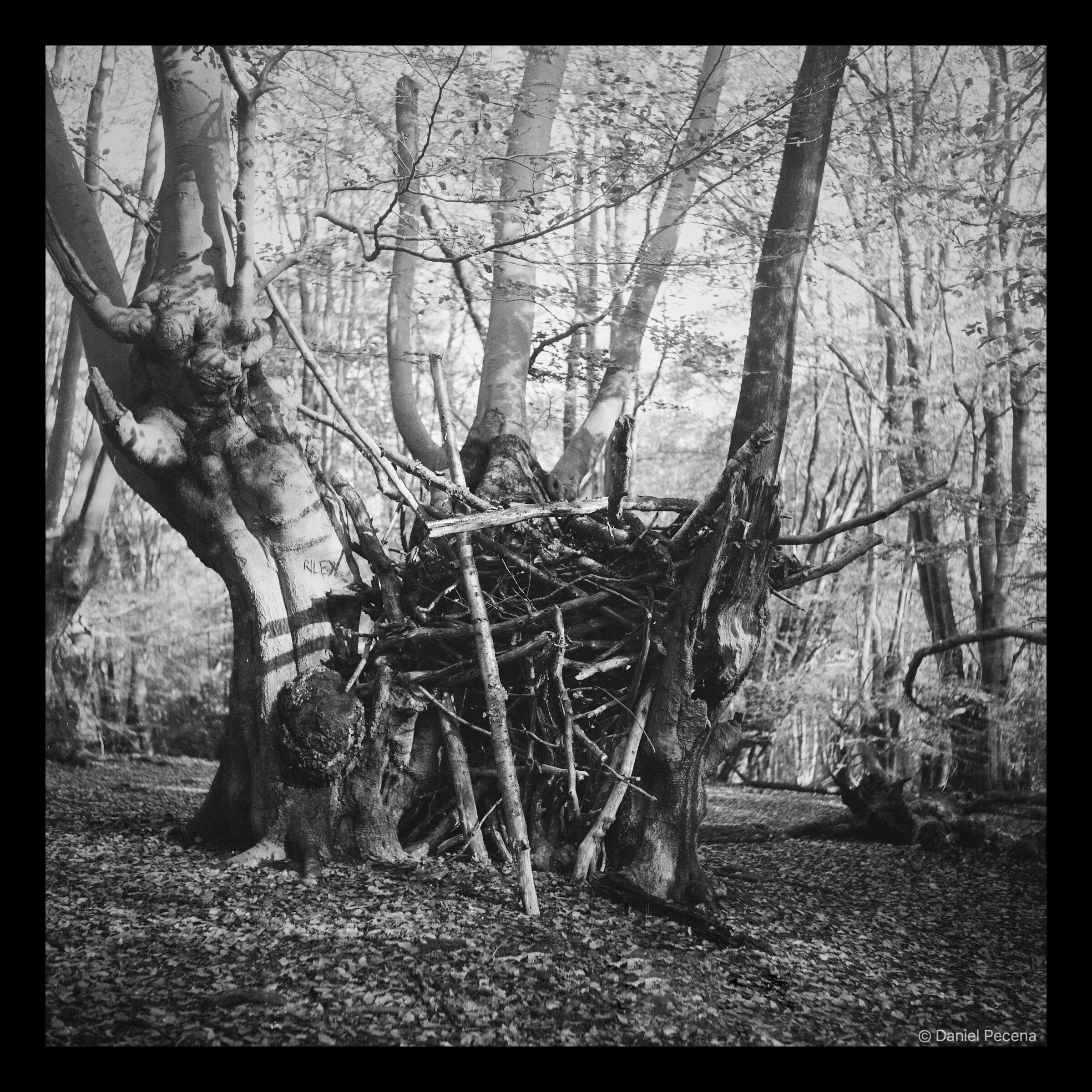
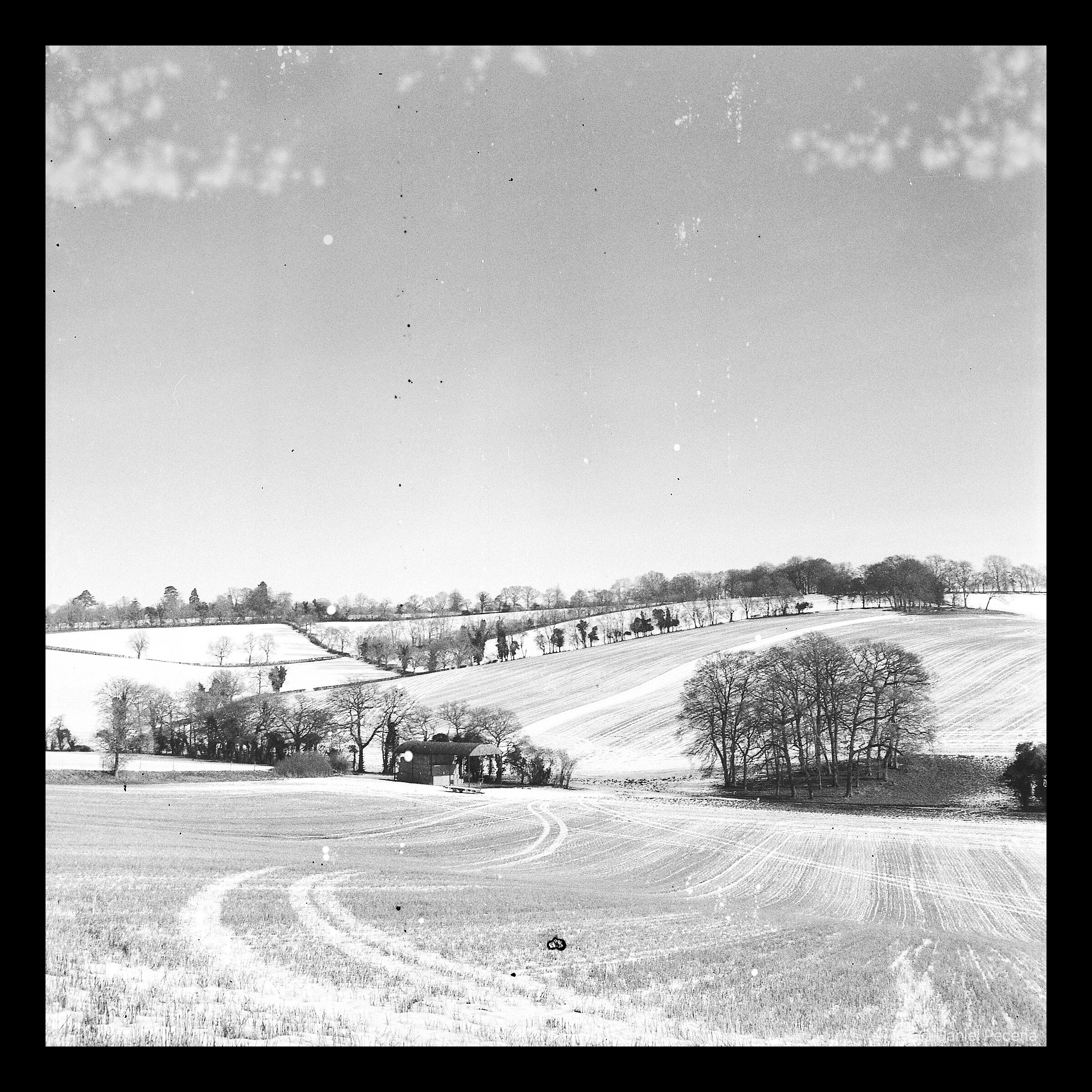
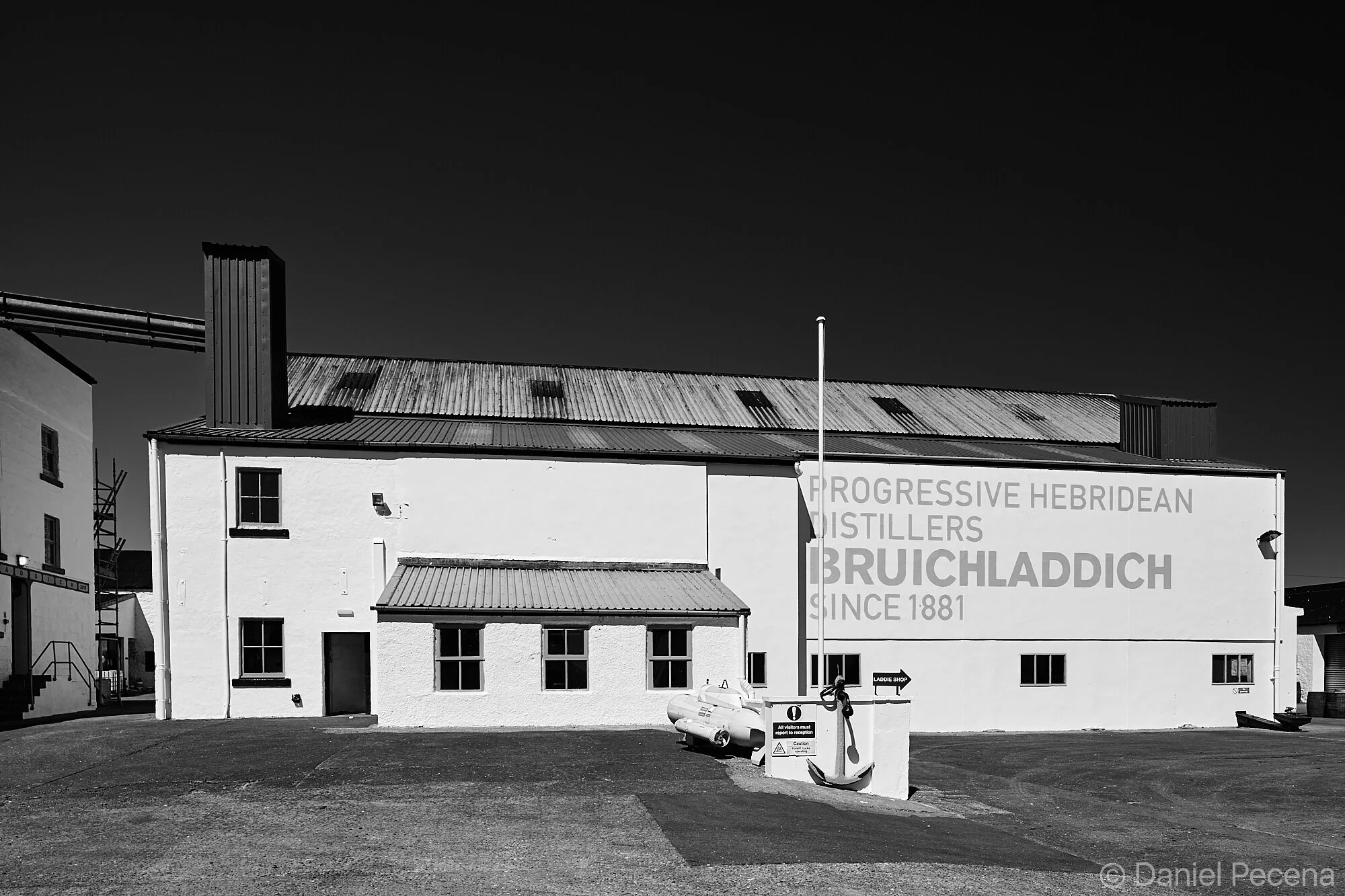
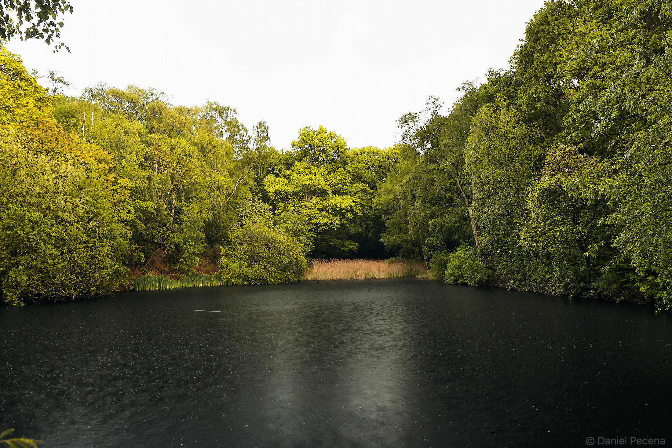
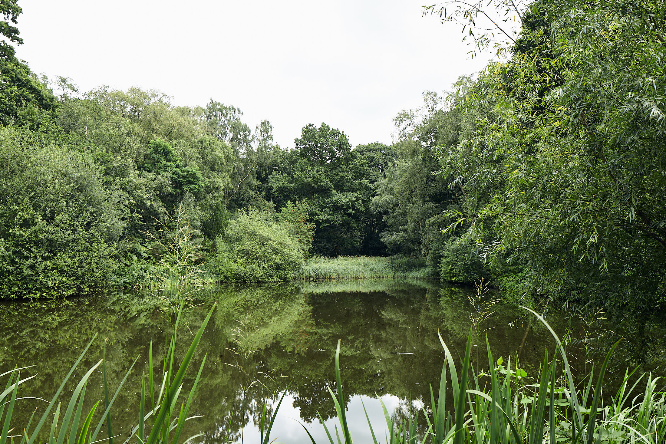
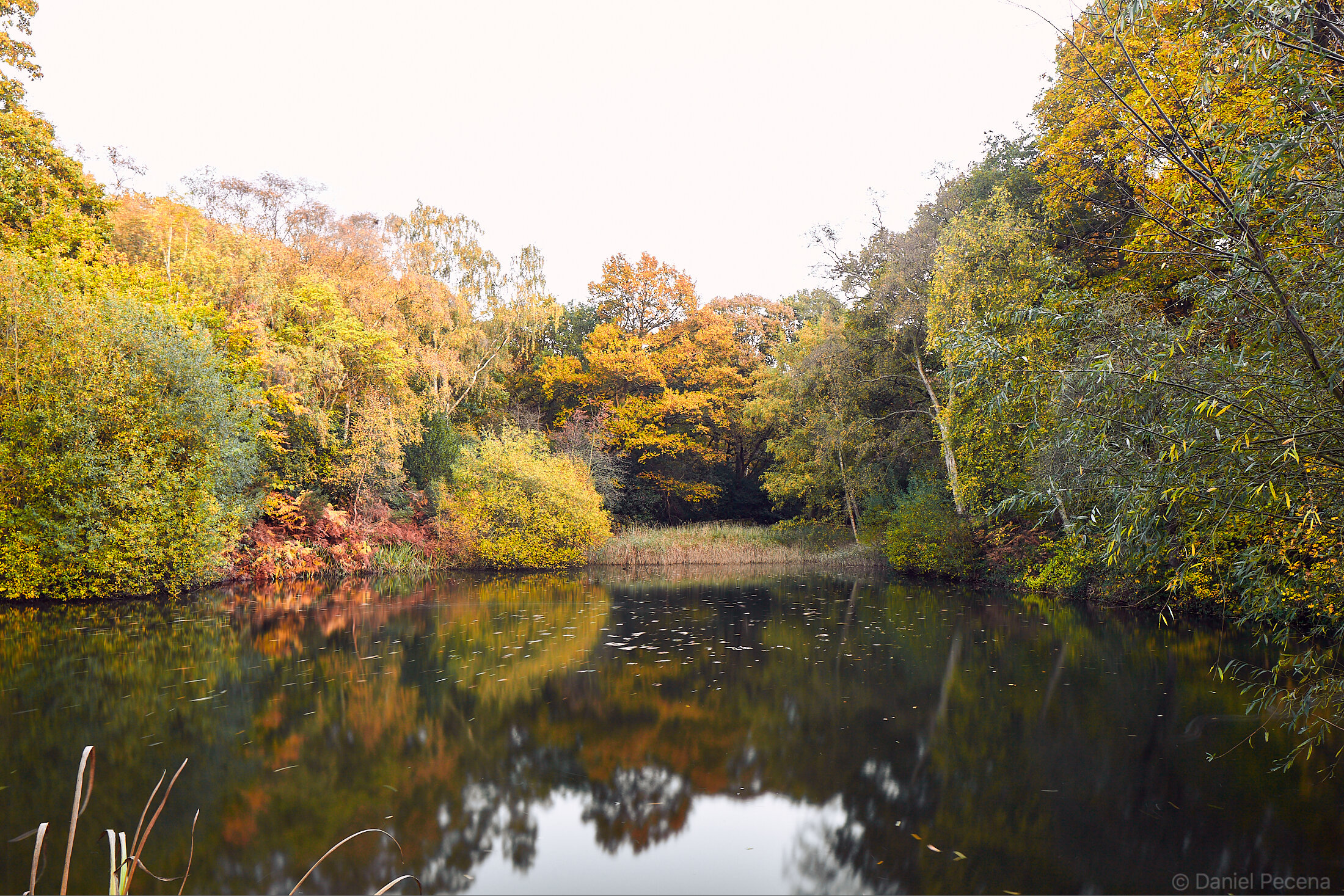
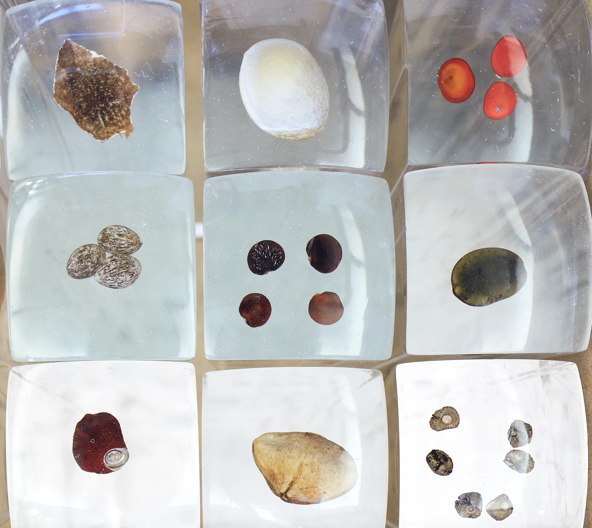
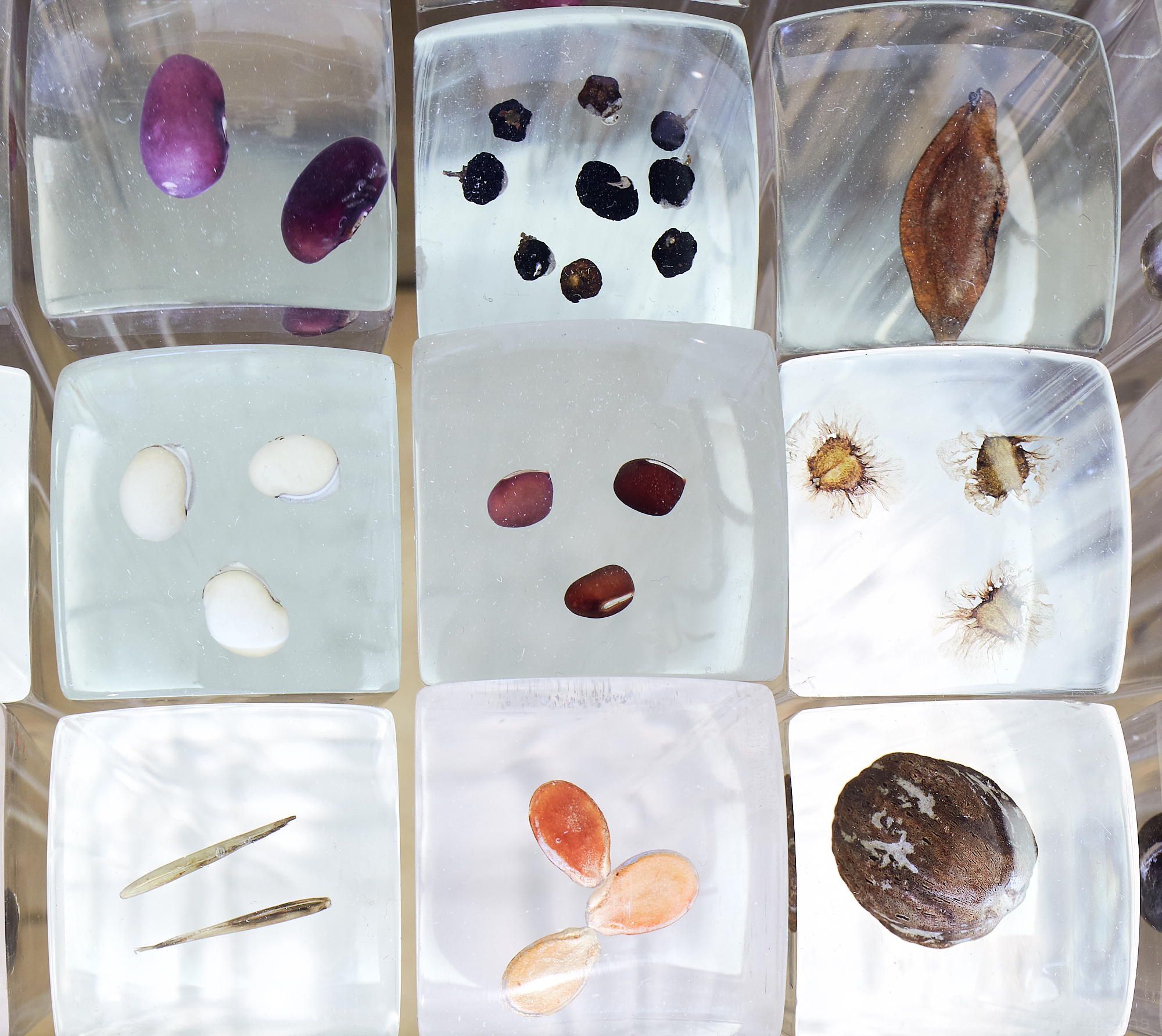
For our walks I didn’t want to take my main camera kit with tripod, not only for them being heavy but also for the fact that I usually take time while making an image. I simply didn’t want to delay our small group. For this reason I decided to take an old Czechoslovak camera Flexaret IV. made in 1957 (more about this camera is in my first blog here). As the film has only 12 frames I am forced to think before I take the picture; every click cost money. I pay attention not only to great conversations I have with my friends during walks but also to various activities undertaken in landscape. A common feature of our walks is taking notice of weather, clouds, different plants, animals, geology, cultural aspects of countryside or vernacular architecture. Summer and Autumn offers time to forage as well. A simple walk consist of many elements including curiosity and connection with nature.
My favourite paragraph about English landscape is is written in the introduction of the book, Edgelands – Journey into England’s True Wilderness by Paul Farley and Michael Symmons Roberts. They observe: “In the English imagination, the great escape might go something like this: you get into your car, marge into traffic and join a busy motorway via one of the feeder roads from the city; after an hour or two, you leave at the correct junction and join an A-road, which you follow for a while before turning off on to smaller, quieter roads that elide into narrow lanes; eventually the lane dips and climbs through wooded hollows, affording sudden views as it follows the line of a ridge, then descends to a track where an ivy-clad cottage waits, a light burning in its window; the key is under the mat, you notice the cottage has a name rather than a number (‘Albion’); you let yourself in to its cool wainscoted hallway, where a clock ticks and time runs backwards”. Even though the book then takes a turn and describes landscape in different light, we can often see and feel the “Albion cottage” around us. The black and white pictures are my journal which in my own imagination takes the time backwards.